All industrial inspection and survey services are carried out by our trusted partner, Drone Analitix, and their team of specialised personnel using industry-leading equipment and drone technology.
Drone Agricultural Survey
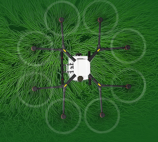
Are you looking for a drone agricultural survey? With the help of multi-spectral cameras drones can be a vital tool in precision agriculture. Through our trusted partner, Drone Analitix, we can offer real-time maps and crop analysis to ensure smart farming to maximum yields. Drones have come a long way recently from Crop Spraying to NDVI and multi spectral analysis. As margins within farming are getting tighter using aerial data to maximize efficiently will give you the edge. The data will be fast, accurate and therefore actionable. don’t wait till it is too late contact us today for a quote or a demo. Let us show you what can be done.
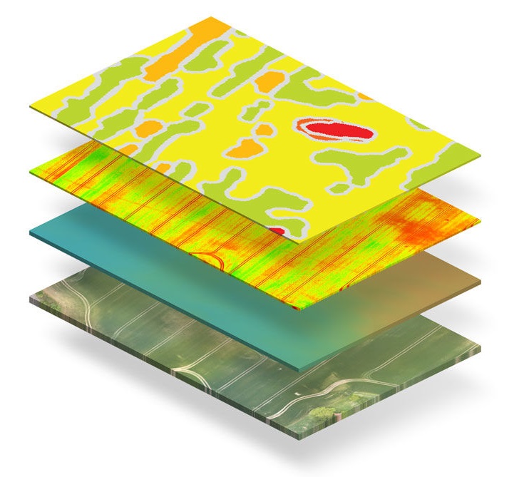
Software Processing
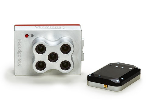
Micasence Cameras
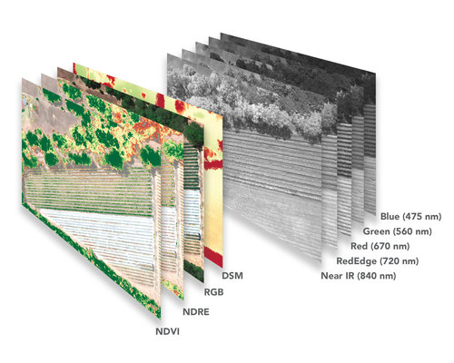
Multispectral Images
NDVI Images
Charging Stations
Mobile charging stations keep survey operations self-sufficient. By constantly charging batteries, the drones can stay in the air for as long as required even if it is the entire day. Flying without downtime is important to maintain efficiency.
Backup Drones
backup equipment is a must for any drone operation. A backup drone is carried at all times, so should an issue arise with the primary drone, swapping over takes only a few minutes.
4x4 Equipped Vehicles
Rough terrain is not an issue. Survey teams use fully kitted out 4×4 vehicles carrying all the necessary equipment, enabling them to operate in challenging environments. The vehicles are kitted out with laptops, charging stations, tables, awnings and chairs to keep the team comfortable on long days